
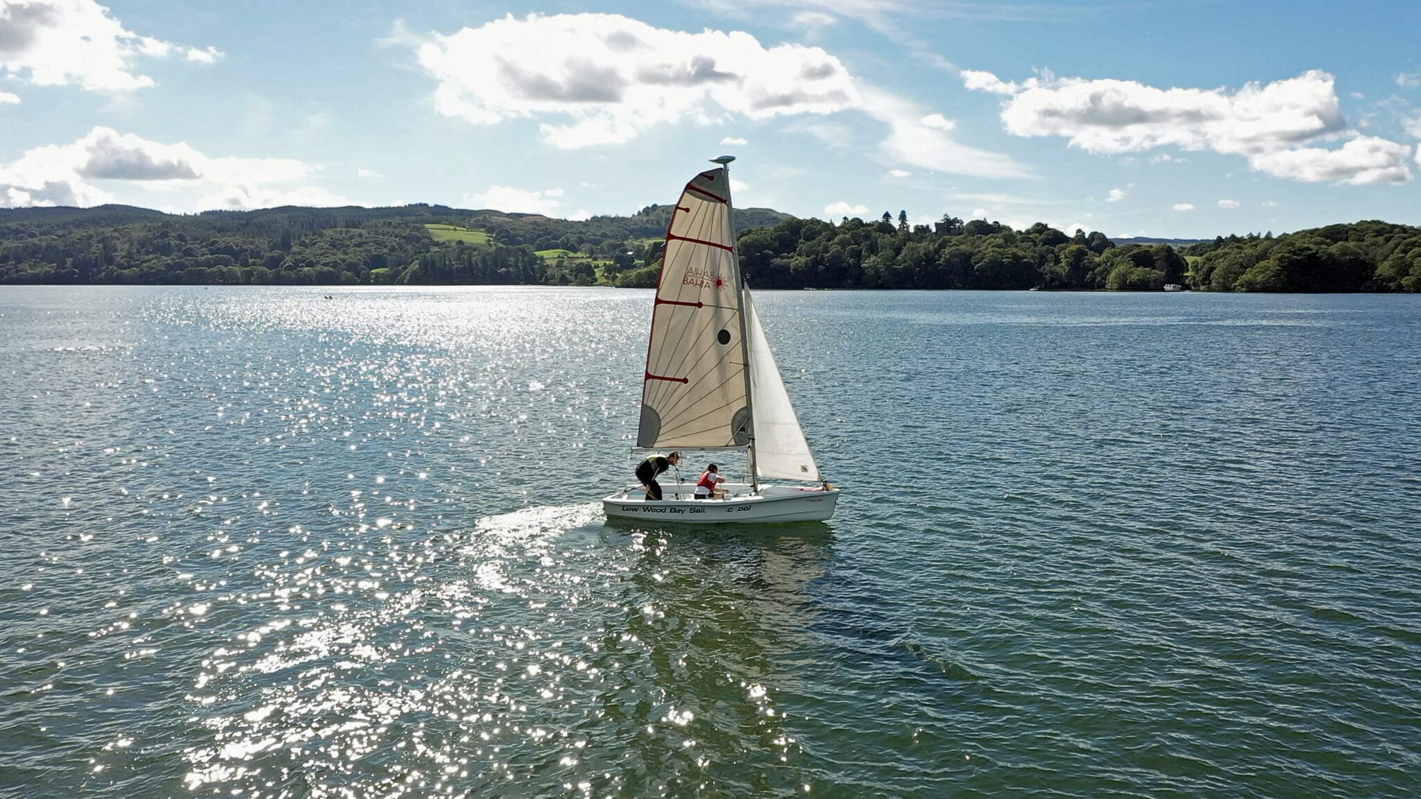

Drone Flying Permissions in the Lake District: Your Essential Guide
Drone technology opens up a new way to see the Lake District’s beautiful scenery. Imagine capturing stunning views of Ullswater or filming the rugged peaks of Scafell Pike. The chance to get amazing aerial photos and videos is huge. Still, before you send your drone into the air, you must know the exact rules and permissions. Flying without the right approval could lead to big fines and spoil your visit. This guide will help you understand what you need to do to fly your drone legally and safely in this famous National Park.
The Lake District is a special place, a National Park and a UNESCO World Heritage Site. It has a delicate environment and many people visit it. Its unique status means there are specific rules. These rules keep the area beautiful, protect wildlife, and maintain peace for everyone. Not knowing the rules won’t save you from trouble. Every drone pilot needs to be fully aware. This complete guide will break down the permissions, airspace rules, and best ways to fly for a smooth and legal experience.
Understanding the Basics of Drone Regulations
Before we look at the Lake District, let’s cover the general UK drone rules. These apply everywhere you fly your drone in the country. They set the stage for safe and responsible drone use.
The UK Drone Code: A Mandatory Framework
The Civil Aviation Authority (CAA) publishes the UK Drone Code. This is the main guide for all drone flights. It explains key rules you must follow. Always keep your drone in your sight, known as Visual Line of Sight (VLOS). Never fly over crowds of people. You also need to respect people’s privacy. Stay clear of buildings and private areas unless you have permission. You can find the full Drone Code on the CAA website.
Registration and Flyer ID Requirements
Most drones need to be registered with the CAA. If your drone weighs over 250 grams or has a camera, you must register as an operator. You also need a Flyer ID if you fly such a drone. This shows you know the basic rules of drone flight. Registering helps keep our skies safe for everyone. The official CAA website is where you can complete these steps.
Permissions Specific to the Lake District National Park
The Lake District is a National Park, which means it has extra rules. These rules are there to protect its special character. You’ll need to think about who owns the land and what the park authority says.
National Park Authority Guidelines
The Lake District National Park Authority has its own advice for drone users. They want to make sure you respect the environment. This includes avoiding disturbance to wildlife, especially during nesting seasons. Always follow general park rules, like sticking to paths and taking your litter home. Their website gives more details on their drone policy.
Landowner and Land Manager Permissions
Many parts of the Lake District are private land. Some areas are managed by large groups like the National Trust or Forestry England. Other parts are private estates or farms. You must get clear permission from the landowner or manager before you operate a drone from their property or land. Flying without this permission is trespassing.
Filming and Commercial Operations
There’s a big difference between flying a drone for fun and flying for work. If you’re doing professional photography or video work for money, that’s a commercial operation. Commercial flights often need extra permits or special agreements. This is especially true if you are on public land or making money from your work. Always be clear about your intentions when seeking permission.
Navigating Airspace Restrictions
Understanding airspace rules is vital for safe drone flight. Certain areas within or near the Lake District have special restrictions. Knowing these keeps you out of trouble and helps prevent accidents.
Controlled Airspace and Prohibited Zones
The Lake District may have controlled airspace nearby. This includes areas around airfields, nuclear power station, British Aerospace Submarine Facilities. Flying drones in these zones without permission is strictly forbidden. You could face serious penalties. Use resources like the NATS DroneSafe app to check for these restricted areas. Always plan your flight path carefully to avoid them.
Temporary Flight Restrictions (TFRs)
Sometimes, special events or emergencies create Temporary Flight Restrictions (TFRs). These could be for air shows, large public gatherings, or even conservation work. Always check for any active TFRs before you fly. Aviation safety apps or the CAA website can give you this information. Flying in a TFR can be very dangerous and lead to severe legal action.
Wildlife Sensitivity and Conservation Areas
Some parts of the Lake District are very important for wildlife. These might include bird nesting sites or other protected habitats. Drones can easily disturb animals, causing them stress or even making them abandon their young. Be extra careful in these zones. Avoid flying low or too close to sensitive areas. Look for specific conservation signs or rules within the park.
Practical Steps for Obtaining Permissions
Getting the right permissions might seem tricky, but it’s a key part of responsible drone flying. With a bit of planning, you can make sure your flight is legal and safe.
Identifying Landowners and Contacting Them
Finding out who owns a piece of land can be done in a few ways. Ordnance Survey maps can often show land boundaries. Local council records might also help. Once you know the owner, contact them politely and explain your plans. A written request or email is often best. Be ready to share your pilot credentials and insurance details.
Applying for Specific Permits
Some activities or locations might need a formal permit. For instance, commercial filming could require a park authority permit. Look on the websites of the Lake District National Park Authority or relevant landowners for application forms. Make sure you apply well in advance. Permit processes can take time to complete.
Utilising Drone Safety Apps and Resources
Modern drone safety apps are very helpful. Apps like NATS DroneSafe or Altitude Angel show you real-time airspace information. They can highlight no-fly zones and controlled airspace. Some apps even offer insights into land ownership or local restrictions. Using these tools helps you plan safe and legal flights before you even leave home.
Responsible Drone Piloting in the Lake District
Flying a drone in the Lake District comes with a big responsibility. You need to make sure your flight is safe, legal, and doesn’t spoil the experience for others. Here are some key practices.
Maintaining Visual Line of Sight and Altitude Limits
Always keep your drone in your sight. This Visual Line of Sight (VLOS) rule helps you react quickly to any problems. It also prevents you from flying too far away. The UK Drone Code also sets a height limit, usually 400 feet (120 metres) above the ground. Staying within these limits is crucial for air safety.
Respecting Privacy and Property
Remember, the Lake District is home to many people and attracts countless visitors. Don’t fly your drone too close to houses, gardens, or campsites without permission. Always respect the privacy of others. Your drone’s camera can be seen as intrusive. Think about how you would feel if a drone was flying over your own home.
Avoiding Disturbance to Wildlife and People
Drones can be noisy and scary to wildlife. Avoid flying near animals, especially during sensitive times like breeding seasons. Keep a good distance from other park users too. The sound of a drone can break the peace and quiet people come to the Lake District for. Choose quieter times and less busy spots for your flights.
Conclusion: Fly Responsibly, Capture Beautifully
The Lake District offers incredible sights, and a drone can capture them like nothing else. But gaining those stunning shots means understanding and following the rules. Always plan your flights carefully. Check for permissions from landowners and the National Park Authority. Know the airspace restrictions. By doing your homework and flying responsibly, you help keep the Lake District special. Enjoy your time and capture its beauty, all while respecting this amazing natural treasure.


Recent Comments